Cairns to Darwin on the Savannah Way: gravel, gulf and the wet season
The Savannah Way from Cairns to Darwin: verified leg distances, where the sealed road ends, when the Gulf floods, and which vehicle you actually need.
Updated 7 November 2026 · 5 min read
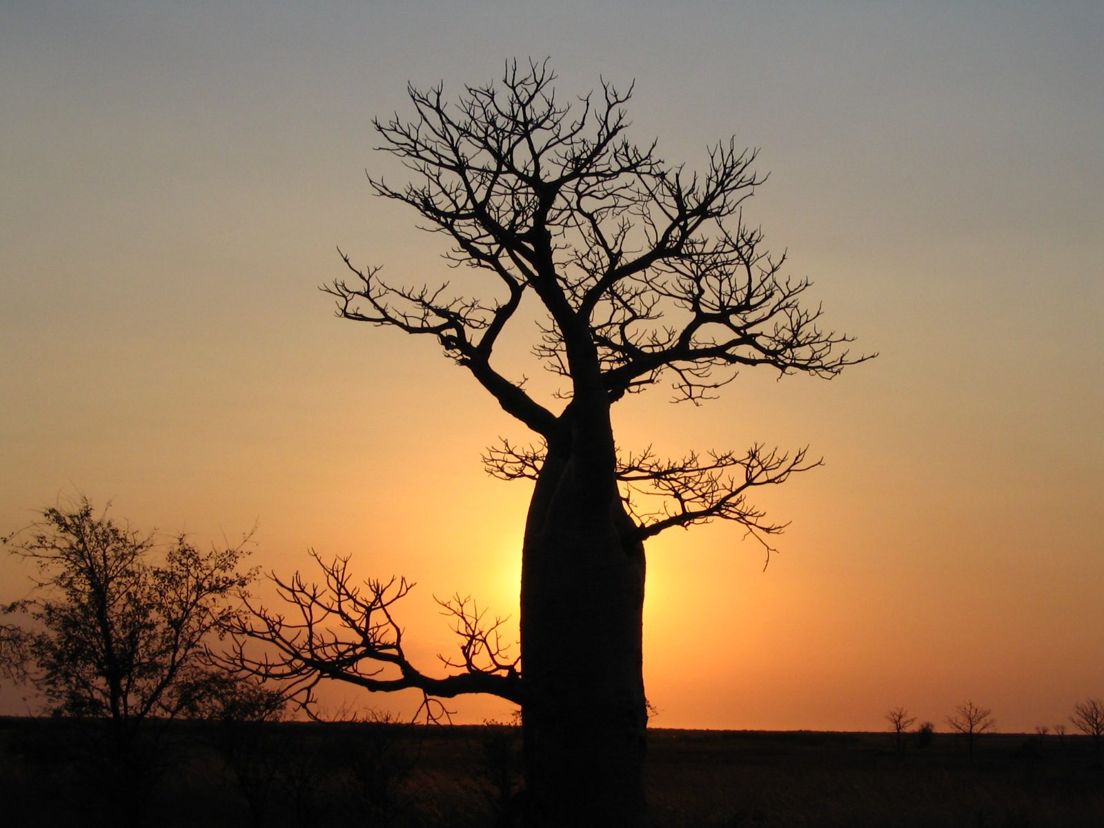

The Savannah Way is the long way around from Cairns to Darwin: west across the Gulf of Carpentaria through Normanton, Burketown and Borroloola, then north up through the Roper and across the Victoria River district to Katherine and the Stuart Highway. It is not a single road so much as a chain of them, joined by river crossings that flood, and the Northern Territory's tourism body is refreshingly blunt about it, describing the full Cairns to Broome route as a 3,700-kilometre journey through rugged country that calls for a four-wheel drive.
That reputation is half earned and half marketing. Most of the route is sealed highway. The unsealed sections are concentrated in the middle, and the question of whether they matter to you depends on the month you drive and the vehicle you bring.
The legs, with distances
The Territory's own Savannah Way itinerary breaks the drive into stages and publishes a distance for each. These are its figures, not an estimate:
Read the table as a planning tool rather than a schedule. The first line alone, Cairns to the border, is a week of driving in the Territory's suggested pace, and it is the section where most people discover that the Gulf is bigger than they expected.
| Leg | Distance |
|---|---|
| Cairns to the NT border | 1,131 km |
| NT border to Borroloola | 262 km |
| Borroloola to Cape Crawford | 100 km |
| Cape Crawford to Daly Waters (sealed option) | 387 km |
| Daly Waters to Mataranka | 168 km |
| Mataranka to Katherine | 106 km |
| Katherine to Judbarra / Gregory National Park | 286 km |
| Judbarra / Gregory to Timber Creek | 56 km |
| Timber Creek to Kununurra | 228 km |
| Kununurra to Broome | 1,043 km |
Adding it up, and where the gravel is
Run the first six legs together and Cairns to Katherine comes out at roughly 2,150 kilometres. From Katherine the Stuart Highway runs north to Darwin, so the Gulf section is behind you and the last stretch is ordinary highway driving.
The itinerary is also honest about the surface. It describes the route as mainly sealed highway with some long stretches of gravel road, plus several four-wheel drive tracks that branch off it entirely. The clearest signal is in the way it splits one leg: from Cape Crawford you can head north to Roper Bar for the fishing, which it labels a four-wheel drive route, or take what it calls the alternative sealed route to Daly Waters. That single fork tells you most of what you need to know about the middle of this drive.
On the Queensland side the route runs through the Gulf country, where the road between towns is a mix of wide sealed sections and gravel, and where a shallow creek crossing after rain can stop a two-wheel drive for a day. It is beautiful country and it does not reward impatience.
Why the calendar matters more than the map
The Top End's wet season runs from November to April, with an average of about 1,570 mm of rain and humidity above 80 per cent. The Northern Territory's tourism body notes that during the Wet, access to some attractions in remote parts of the Top End may be closed due to flooding, and advises checking road conditions before heading into remote areas. On a route built around unsealed river crossings, that is not a formality.
The practical consequence is that the Savannah Way is a dry-season drive. The window people use is May to October; the shoulder months at either end are the interesting ones, when the country is still green but the crossings have dropped. Booking a tight schedule through the Gulf in January is how people end up sitting in Burketown for three days waiting for water to fall.
That said, the sealed sections and the towns work year-round. If you want the Gulf in the wet, base yourself somewhere and fish, rather than trying to transit.
Which vehicle you actually need
The Territory's advice is a four-wheel drive, and for the full route that is right. What it does not mean is that you need a lifted, low-range expedition vehicle. It means clearance for the gravel, a proper spare, and enough tyre for long distances on a surface that eats road tyres.
If your plan is Cairns to Darwin with the Gulf as the point of the trip, a 4WD camper is the honest choice: it will take the gravel sections at a sensible pace and still give you a bed at the end of the day. A two-wheel drive campervan will do the sealed route through the Queensland Gulf and up the Stuart Highway, but it confines you to the bitumen and it makes every wet-season shower a decision point.
Whichever way you go, carry more water than you think you need, a decent first aid kit, and the ability to be self-sufficient for a night longer than planned. Phone coverage in the Gulf is patchy and the gaps between roadhouses are long.
Starting in Cairns, finishing in Darwin
This route suits a one-way hire better than almost any other in Australia, because returning to Cairns means driving the Gulf twice. Collect in Cairns, drop in Darwin, and the drive is a line rather than a loop. Picking the van up through campervan hire in Cairns puts you on the Cook Highway with the reef on your right and the Atherton Tablelands behind you, which is not a bad first hour.
At the other end, campervan hire in Darwin is where the trip finishes, and it is worth building in a couple of days for Litchfield or Kakadu before you fly out. After two weeks of gravel and cattle grids, a swimming hole with a waterfall behind it is the correct reward.
Questions people ask before booking
The questions below decide the trip rather than decorate it: vehicle, season and pace. Get those three right and the rest is detail.
One general point before the specifics. On a route where a creek can close a road for a day, the fallback plan matters more than the itinerary. Build in a town you can wait in, and a couple of days of slack.
- Can you drive the Savannah Way from Cairns to Darwin in a two-wheel drive?
- On the sealed route, largely yes, and the Territory's own itinerary offers a sealed alternative via Daly Waters for the leg that would otherwise go through Roper Bar. But the Queensland Gulf includes long gravel stretches, and one shower changes the surface. If you want the whole route without watching the sky, take the four-wheel drive.
- How long should you allow?
- The Territory's published itinerary spreads Cairns to the Western Australian border over a fortnight, and that is a fair pace. Cairns to Darwin at ten days is doable and brisk; two weeks lets you stop at Borroloola for the fishing, which is why a lot of people are on this road in the first place.
- Is fuel a problem?
- Not on the main route, where the towns are spaced for roadhouses, but the gaps are long enough that you should fill at every one rather than every second. Carry a jerry can if you plan to branch off onto the four-wheel drive tracks.
Sources
Pick a depot for this trip
Every guide here starts at one of the eleven depots. The location pages carry the address, the hours and what is worth driving to first.